Discover the incredible evolution of navigation as hyper-personalized Augmented Reality (AR) maps emerge as a dominant force in urban exploration and travel planning. This innovative technology offers bespoke experiences, adapting dynamically to individual user preferences and real-time environmental data. Imagine walking through a city where every street, landmark, and local gem is highlighted with relevant information tailored just for you. From suggesting hidden cafes to guiding you through complex transit systems, AR maps are redefining convenience and immersion. These advanced systems seamlessly blend digital insights with the physical world, creating an unparalleled understanding of your surroundings. Stay ahead of the curve as we delve into how these intelligent mapping solutions are poised to revolutionize personal mobility and local discovery, making every journey uniquely yours and effortlessly efficient.
- What exactly is AR navigation and how does it function? - AR navigation merges digital information with your physical surroundings using a smartphone camera or AR glasses. It projects directions, points of interest, and relevant data directly onto your live view, creating an immersive and highly intuitive guidance experience. This system leverages GPS, sensors, and AI to understand your location and preferences, providing contextual information in real-time.
- Are there any specific devices required for using hyper-personalized AR maps? - While many modern smartphones are capable of running basic AR navigation apps, the full hyper-personalized experience is best enjoyed on devices with advanced AR capabilities or dedicated AR glasses. These specialized gadgets offer superior tracking, wider fields of view, and more seamless integration with the real world. As technology advances, more mainstream devices will likely support these features effectively.
- How does AR navigation maintain user privacy with personalization? - AR navigation platforms are implementing stringent privacy measures, including data anonymization, encryption, and granular user controls. While personal preferences are used for tailoring experiences, reputable services strive to minimize direct Personally Identifiable Information (PII) collection. Users often have choices regarding what data is shared, balancing personalization with their desired level of privacy protection effectively.
- Can AR maps work offline, or do they always require an internet connection? - Many AR map applications offer offline functionality for basic navigation, allowing users to download maps and essential data beforehand. However, hyper-personalized features, real-time updates, and highly dynamic content often require an active internet connection to access the latest information and AI-driven recommendations. The optimal experience typically relies on continuous connectivity for comprehensive features.
- What advantages do AR Local Guides offer to the mapping experience? - AR Local Guides enhance the mapping experience by contributing rich, community-driven content that enriches the digital overlay. Their insights provide unique local perspectives, hidden gems, and up-to-date information, making the maps more vibrant and authentic. These contributions make navigation more immersive and personal, fostering a deeper connection with the explored environment effectively for all users.
- How accurate are the directions provided by AR navigation systems? - The accuracy of AR navigation directions is continuously improving, leveraging advanced GPS, Inertial Measurement Units (IMUs), and visual positioning systems. In urban environments with good satellite visibility and strong visual cues, accuracy can be very high, often within a few feet. However, performance may vary in areas with poor signal or limited visual data, but ongoing advancements are minimizing these limitations effectively.
- Will AR navigation replace traditional physical maps completely in the future? - While AR navigation offers significant advantages, it is unlikely to completely replace traditional physical maps. Physical maps still hold value for reliability in areas without connectivity, for planning, and as tactile aids. AR navigation will likely complement traditional methods, becoming the primary mode for dynamic, on-the-go exploration. Each format serves distinct purposes within diverse user preferences and situations effectively.
Q: What is hyper-personalized AR navigation?
A: Hyper-personalized AR navigation is an advanced mapping technology that overlays digital information onto your real-world view using augmented reality. It leverages artificial intelligence to learn your individual preferences, habits, and interests, providing highly tailored routes, points of interest, and real-time contextual information directly in your field of vision. This creates a uniquely curated and immersive guidance experience for every user.Q: How does AR Navigation enhance travel planning?
A: AR Navigation enhances travel planning by offering dynamic, real-time adjustments and personalized recommendations. Instead of static maps, it provides live overlays of information, adapting to unexpected events like traffic or weather. It also suggests attractions and dining options based on your historical preferences, making your journey more efficient and enjoyable from the start to finish.Q: What kind of data do personalized AR maps use?
A: Personalized AR maps utilize a range of data points to tailor your experience. This includes your GPS location, device sensors, camera feed, past navigation history, search queries, and potentially even social media activity or calendar entries. AI algorithms process this extensive data to understand your preferences and provide relevant, context-aware information and suggestions.Q: Can AR maps provide indoor navigation?
A: Yes, AR maps are increasingly capable of providing indoor navigation, which is particularly useful in large complexes like airports, shopping malls, or museums. Using technologies such as Wi-Fi triangulation, Bluetooth beacons, and visual markers, AR systems can guide you precisely within indoor environments. They highlight specific stores, gates, or exhibits directly in your view, overcoming GPS limitations indoors.Q: What makes AR Navigation different from traditional GPS?
A: AR Navigation differs from traditional GPS by merging digital data directly with your live view of the physical world. While GPS provides a 2D map with an icon, AR overlays directions and information onto your camera feed, making it far more intuitive. It also offers hyper-personalization, learning your specific preferences to suggest relevant points of interest beyond simple routing.Q: Will AR Navigation be widely adopted by 2026?
A: By 2026, AR Navigation is expected to see significant wider adoption, especially with advancements in smartphone capabilities and dedicated AR devices. Increased accuracy, improved battery efficiency, and more compelling personalized features are driving this trend. Many users are already experiencing preliminary versions, indicating a strong trajectory towards mainstream use in daily life and travel. 5 Click-Worthy Titles: 1. AR Navigation: Is Hyper-Personalized Mapping Your Next Guide? 2. Future Travel: How AR Navigation Redefines Your Journey 3. Expert Guide: Unlocking Cities with AR Navigation Maps 4. Step-by-Step: Mastering Exploration with Personalized AR Navigation 5. Proven Insights: The Power of AR Navigation in Local Discovery SEO Meta Description: Explore AR Navigation, the future of mapping. Hyper-personalized augmented reality maps offer tailored, immersive experiences for seamless urban discovery and travel. Recommended URL Slug: ar-navigation-hyper-personalized-mapsAre you tired of generic directions that miss out on local gems or fail to adapt to your specific needs? Many people wonder, “Can AR navigation truly revolutionize how I discover places?” Hyper-personalized Augmented Reality maps are here to answer that question decisively. This innovative technology is poised to transform our interaction with the physical world, making every exploration uniquely tailored. Imagine a map that not only guides your route but also anticipates your interests, displaying relevant information exactly when you need it most. It blends digital data seamlessly with your real-world view, offering an unprecedented level of contextual awareness and personalized discovery. These advanced systems are more than just navigation tools; they are intelligent companions for urban adventurers. They provide an immersive layer of data over your surroundings, enhancing your understanding and connection to the environment dramatically.
The Dawn of Immersive AR Navigation
The concept of simply following a blue line on a screen is quickly becoming a relic of the past for many users. AR navigation overlays digital information directly onto your live camera feed, creating a highly intuitive and engaging experience. This innovative approach allows users to perceive directions, points of interest, and real-time data within their actual environment. It offers an almost magical blend of virtual insights and tangible reality, guiding you with unparalleled clarity. Imagine seeing restaurant ratings floating above establishments or historical facts appearing as you gaze at an ancient building. This technology provides layers of information that are contextually relevant and visually integrated. Such dynamic displays make navigating complex urban landscapes or finding hidden local treasures significantly easier and more enjoyable for everyone.
What Makes AR Maps Hyper-Personalized?
Hyper-personalization in AR navigation goes far beyond basic preferences like avoiding highways or seeking out coffee shops nearby. These advanced systems leverage artificial intelligence to learn your habits, interests, and even your mood over time. They analyze past routes, search history, social media interactions, and even calendar events to predict what you might want next. For instance, if you frequently visit art galleries, your AR map might subtly highlight lesser-known public art installations along your path. This deep learning creates a truly bespoke navigational experience for every user. It provides recommendations and information that feel uniquely curated, almost like having a personal guide constantly by your side on every journey. This sophisticated level of personalization truly distinguishes the next generation of mapping solutions from anything seen before.
Predictive Routing and Real-Time Adaptations
One of the most exciting aspects of AR navigation is its ability to offer predictive routing capabilities and adapt in real-time. Forget rigid, pre-planned routes; these maps intelligently respond to unexpected street closures, sudden weather changes, or even surge pricing on public transport. They actively recalculate and suggest optimal paths instantaneously, ensuring you always reach your destination efficiently and with minimal fuss. This dynamic responsiveness is powered by sophisticated algorithms that constantly process vast amounts of live data. It means your journey is continuously optimized, providing peace of mind during your travels. The system provides alternatives before issues even become major obstacles, guiding you seamlessly through any challenge that might arise along the way.
Ideal AR Local Guide Profile: Crafting Future Content
Casting directors often seek specific traits for on-screen talent, and similarly, AR navigation platforms are seeking ideal profiles for their local guide contributors. These contributors effectively shape the future of immersive map content. An ideal AR local guide would possess a keen eye for detail and a genuine passion for local culture. They understand that their contributions are vital for enriching the experiences of countless users globally.
- Height: Not a physical measurement, but rather a metaphorical 'height' in terms of comprehensive data contribution and broad area coverage within their locality. A diverse range of perspectives ensures rich, varied content.
- Build: Signifies a robust and reliable contribution history, consistently adding high-quality, verified information. A strong 'build' means dependable data.
- Hair: Represents the 'texture' and creativity of content, such as unique narratives, interesting facts, and engaging visual overlays. Diverse 'hairstyles' (content styles) are encouraged.
- Eyes: Refers to a sharp observational ability, noticing subtle nuances and hidden gems often overlooked by others. 'Keen eyes' spot crucial details.
- Age Range: Diverse age ranges contribute varied insights, from historical knowledge to contemporary trends, ensuring relevance across demographics. All generations offer unique perspectives.
- Ethnicity: Embraces a broad spectrum of cultural understanding and representation, ensuring inclusive and culturally sensitive points of interest. Cultural diversity enriches the map for everyone.
What Others Are Asking?
How do hyper-personalized AR maps work with my smartphone?
Hyper-personalized AR maps utilize your smartphone's camera, GPS, and sensors to overlay digital information onto your real-world view. They process your location data and user preferences through AI, then display tailored directions, points of interest, and real-time details directly on your screen. This creates an immersive and highly intuitive navigation experience that blends virtual with reality seamlessly.
What are the privacy concerns with AR navigation technology?
Privacy concerns with AR navigation revolve around data collection, specifically personal location history and preferences used for personalization. Developers are implementing robust encryption, anonymization techniques, and clear user consent policies to safeguard sensitive information. Users retain control over data sharing settings, ensuring a balance between personalized experiences and individual privacy protection measures.
Can AR navigation help me find hidden local attractions?
Yes, AR navigation excels at helping users discover hidden local attractions by leveraging personalized data and community contributions. The system learns your interests and suggests unique spots, often overlaying historical facts or local anecdotes directly onto your view. It transforms ordinary walks into exciting treasure hunts, revealing places you might otherwise miss easily.
Is AR navigation accessible for people with disabilities?
AR navigation offers significant potential for accessibility improvements, particularly for people with disabilities. Features like auditory cues for visual impairments, haptic feedback for directions, and visual overlays for accessible routes can greatly enhance mobility. Developers are actively working to integrate inclusive design principles to cater to a diverse range of user needs effectively.
What is the energy consumption of AR map applications?
AR map applications can be energy-intensive due to continuous use of the camera, GPS, and complex graphics rendering. Battery consumption varies based on device, processing power, and application optimization. Developers are continuously working on improving efficiency through optimized algorithms and hardware integration, aiming to reduce the power demands significantly for extended use.
Final Thoughts on AR Navigation
Hyper-personalized AR navigation stands as a groundbreaking leap in how we interact with our environment. It promises more intuitive, engaging, and genuinely personal journeys for everyone. By merging digital intelligence with our physical world, AR navigation truly redefines the boundaries of discovery and convenience. This technology offers incredible potential to transform daily commutes and grand adventures alike. As we move forward, how will AR navigation continue to adapt to our evolving needs, and what new features might emerge to further enrich our exploration experiences?
Hyper-Personalized AR Maps, Immersive Navigation Technology, Real-Time Dynamic Adaptability, Tailored User Experiences, Future of Local Exploration, Enhanced Urban Discovery, Predictive Routing Insights, Seamless Digital-Physical Blending.


Contextual Content Strategy 2025 Map Mood To Momentum Copertina 32158 . Context Mapping A Critical Tool In Urban Design And Planning This Map . Contextual Mapping For Site Analysis A Layered Study Of The Site S . Crossroads 2026 Navigating The German Media Market STR ER Eng Momentum Map 2026 . 302 Breaking Analysis 2026 Data Predictions Scaling Agents Via Gemini Generated Image 1


Context Map Cml Context Mapper DSL CML JUGO 6d3a0 F1b 45e3 8c57 5024b287e44 Context . 2026 Global Event Map Event Map 2026 Preview . Viola It Depends On The Context From Embedded To Contextual Finance Contextual Map 09 01 Scaled . Plan FSU Innovation Context Map . WFP S Integrated Cross Cutting Context Analysis And Risk Assessment In Ec10c7c9 5c76 4da3 8527





NEW 2025 2026 NEW CONTEXTUAL THEMES GCSE DT NEA AQA Guide To Context 697x523 3,0.preview . Context Map Palette Og. Mapping Your 2026 Strategy Design A Year That Fits LiLi Centre Mapping Your 2026 Strategy 768x644 . Road Map 2026 Cor Con . How To Overlay Images And Maps On Google Earth Pro Best Free Mapping Tools In 2026


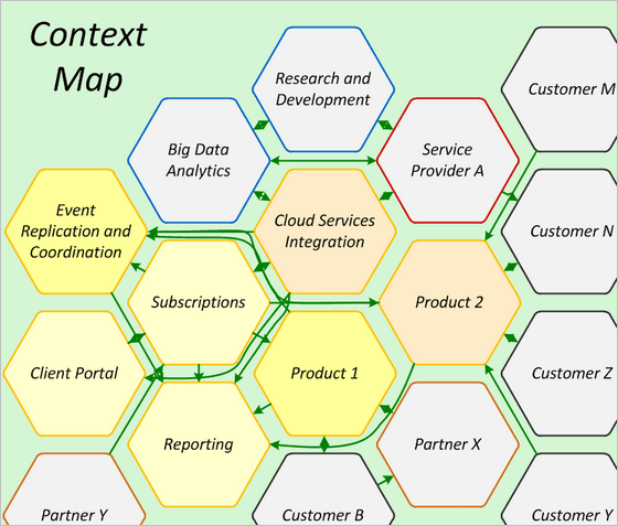
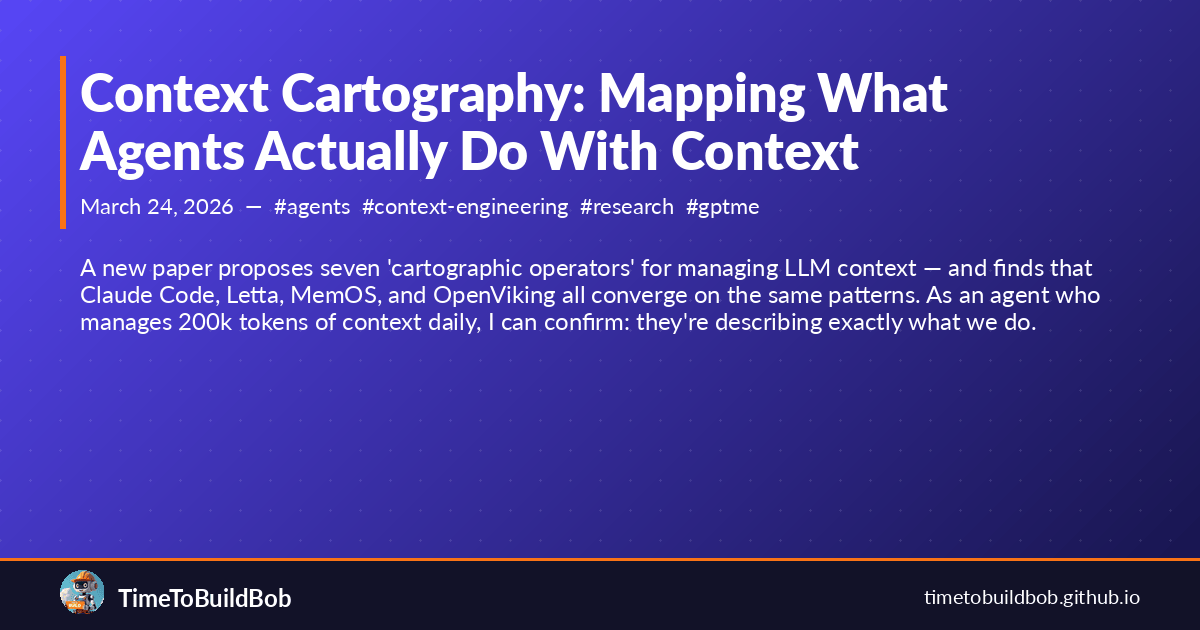
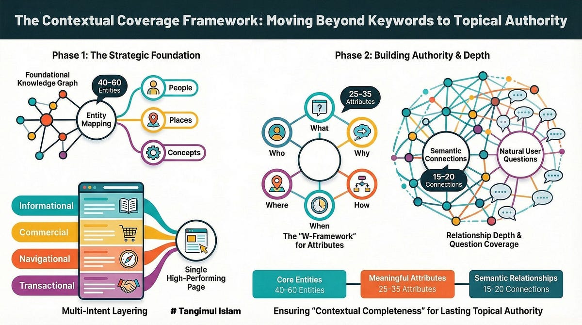
The Contextual Blast Why 2026 White Paper Syndication Is Replacing 3c4f1215 0b67 4210 9161 . Context Map Patterns W Domain Driven Design Praktyczne Porady Dla Context Map Cheat Sheet 1 1 . Software War Starts With A Map Context Map 2012 04 07 Context Map 2 . Context Cartography Mapping What Agents Actually Do With Context Context Cartography Mapping What Agents Actually Do With Context .


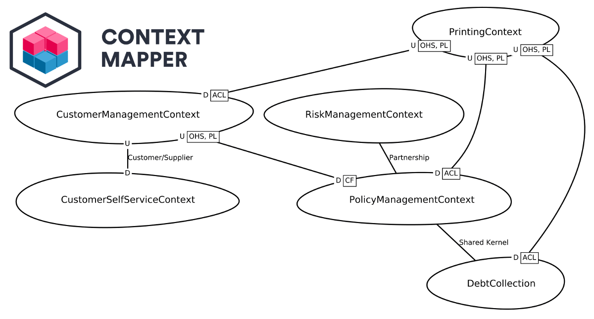

One Example Of An Ecosystem Map Ui Ux Design Social Design Map Design . 2026 Vision Mapping Workbook Canva Kdp Graphic By Shumaya Creative 2026 Vision Mapping Workbook Canva Kdp Graphics 137577462 1 . Memory Mapping 2026 Powerful Ways To Preserve Family Storie Untitled Design 90 . Context Map Generator Context Mapper Context Mapper Example Context Map . Context Mapping Examples Context Map Domain Driven Design LTEOR


Supporting Leaders Teams The Grove Consultants 1fdb560 6a8 Deaf 8f60 04 Context Map . Africa Map 2026 World Stock Photos Free Royalty Free Stock Photos Global Map Showcasing Regions Number Tiles Year Global Map Showcasing Regions Number Tiles 418812709 . 2026 Data Predictions Scaling AI Agents Via Contextual 302 Breaking Analysis 2026 Data Predictions Scaling Agents Via Contextual . 2026 Data Predictions Scaling AI Agents Via Contextual 302 Breaking Analysis 2026 Data Predictions Scaling Agents Via Contextual 8 . Contextual Mapping Of Terms Obtained By Statistical Analysis Of The Contextual Mapping Of Terms Obtained By Statistical Analysis Of The Body Of Texts Based

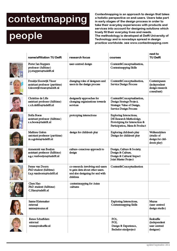


What Is Context Mapping Updated 2026 IxDF . Research For Inspiration CMpeople Dec2014 . February 2026 Highlights CONTEXT S Weekly IT Industry Forum 043382c9 27ec 6525 26cf. January 2026 Highlights CONTEXT S Weekly IT Industry Forum 6c548dec 1a6f F2fa C083. SOS A Climate Of Uncertainty In The Face Of Risks In 2026 Sos Risque 2026