- What are the best apps to Map Lakes and Rivers with HD imagery?
For high-definition mapping of lakes and rivers, consider apps like Google Earth Pro, Gaia GPS, and Navionics Boating. These platforms offer detailed satellite imagery, topographic data, and specific nautical charts crucial for accurate navigation and exploration.
- How do I find real-time water levels and flow rates for mapped rivers?
Many government agencies and local environmental organizations provide real-time data. Websites like the USGS WaterWatch and local river authority sites offer up-to-date water levels, flow rates, and flood advisories. Some advanced mapping apps integrate this data directly.
- Can I download offline maps for remote lakes and rivers?
Absolutely. Popular apps such as Gaia GPS, onX Hunt, and OsmAnd allow users to download high-resolution maps for offline use. This is crucial for navigating remote areas without cellular service, ensuring you always have your route and key geographical features accessible.
- Where can I see historical data or changes in mapped lakes and riverbeds?
Historical data, including shoreline changes and riverbed alterations, can often be viewed through Google Earth's historical imagery feature. Academic resources and governmental geological surveys also maintain extensive archives detailing topographical and hydrological shifts over time.
- Are there specialized maps for fishing on specific lakes and rivers?
Yes, dedicated fishing maps often highlight depth contours, submerged structures, and vegetation beds, which are key to locating fish. Apps like Fishbrain, Navionics, and C-MAP offer highly specialized nautical charts and fishing-specific overlays for many popular waterways.
- What safety features do modern Map Lakes Rivers apps offer?
Modern mapping apps for waterways often include features like GPS tracking for distress signals, offline map capabilities for lost signal zones, and weather overlays for sudden changes. Some even allow for sharing your live location with emergency contacts, enhancing overall safety during your adventures.
- How accurate are satellite images for mapping small rivers and streams?
Satellite images from services like Google Maps and Bing Maps are highly accurate for mapping most rivers and streams, often down to a few meters resolution. For very small or seasonal streams, ground-truthing or more specialized aerial photography might be needed for absolute precision, but they offer excellent general guidance.
This guide empowers Gen Z and Millennials to expertly navigate and discover stunning lakes and rivers using cutting-edge digital mapping tools Forget outdated paper maps the future of outdoor exploration relies on precise real-time data at your fingertips From planning spontaneous weekend kayaking trips to locating hidden fishing spots understanding how to effectively map these natural waterways is essential for any adventurer This resource provides actionable insights into leveraging advanced features on your preferred Local MAP apps to enhance your outdoor experiences Discover the best scenic routes identify prime recreational areas and stay informed about local conditions all through the intuitive power of modern mapping technology Embrace the convenience and accuracy that digital maps offer making every journey on or near the water seamless and unforgettable Prepare to unlock a world of natural beauty guided by the precision of todays mapping solutions
- What are the top digital platforms for mapping lakes and rivers? - Top platforms for mapping lakes and rivers include Google Earth, Gaia GPS, and Navionics. These tools offer detailed satellite imagery, topographic data, and nautical charts, essential for planning and navigating waterways effectively. They provide both broad overviews and intricate details for various outdoor activities.
- How can I access real-time conditions for mapped lakes and rivers? - Real-time conditions like water levels, flow rates, and weather can be accessed via apps integrating data from USGS WaterWatch or local environmental agencies. Many popular navigation apps offer weather overlays and direct links to these critical informational resources, keeping explorers safe and informed.
- Is it possible to use map lakes and rivers features offline? - Yes, most advanced mapping applications, such as Gaia GPS, onX Hunt, and OsmAnd, allow users to download high-resolution maps for offline use. This is vital for navigating remote areas where cellular service is unreliable, ensuring continuous access to critical navigational data.
- Where can I find historical data on changes in lake and river landscapes? - Historical data, including shoreline shifts and riverbed changes, is often available through Google Earth's historical imagery feature. Additionally, academic research archives and governmental geological surveys provide extensive records for detailed analysis of hydrological and topographical evolution over time.
- Are there specialized map tools for fishing in specific lakes and rivers? - Absolutely. Apps like Fishbrain, Navionics, and C-MAP offer specialized fishing maps. These tools highlight depth contours, submerged structures, and vegetation, which are crucial for identifying prime fishing spots and understanding the aquatic environment for better success.
- What safety features are integrated into modern lake and river mapping apps? - Modern mapping apps include vital safety features such as GPS tracking for emergency services, offline map access, and real-time weather alerts. Some even facilitate sharing your live location with designated contacts, significantly enhancing safety during water-based recreational activities.
- How precise are satellite images for mapping smaller rivers and streams? - Satellite images from leading providers like Google Maps generally offer high precision for mapping rivers and streams, often providing details down to a few meters. While extremely small or seasonal waterways might require ground verification for ultimate accuracy, they provide excellent foundational guidance.
Unlock the full potential of your outdoor adventures by mastering the art of mapping lakes and rivers. For Gen Z and Millennials, digital tools are the go-to for discovery, and knowing how to effectively use them for water-based exploration is a game-changer. Whether you are searching for the perfect paddleboarding spot, a serene fishing haven, or simply want to explore scenic waterways, this guide will show you how to leverage modern mapping technology to make your next trip unforgettable.
Frequently Asked Questions
Where can I find the best mapped lakes and rivers in my local area?
The absolute best locations are often near National Parks and State Forests. Explore Lake Superior or Colorado River. Many top spots are well-documented digitally.
How do I use Local MAP or Maps to navigate specific lakes and rivers?
Pull up your preferred mobile Maps app to verify real-time hours, as peak weekend times fill up fast. Always check current conditions and safety advisories for a smooth trip. This ensures an informed journey on the water.
What are the best times to explore mapped lakes and rivers for optimal experience?
To avoid crowds and enjoy serene conditions, visit during early mornings on weekdays.
- Spring and Fall: Ideal for milder weather and less boat traffic.
- Summer Evenings: Perfect for sunsets and cooler temperatures, especially for kayaking.
- Winter (specific regions): Offers unique ice fishing or cross-country skiing opportunities on frozen lakes, with proper safety checks.
Quick Local Guide
- Business Name: Lake Explorer Maps, Neighborhood / Cross-streets: Digital App Global Access
- Business Name: River Route Finder, Neighborhood / Cross-streets: Online Platform Everywhere
- Business Name: Waterway Navigator, Neighborhood / Cross-streets: Mobile GPS Your Pocket
All maps focus on "Map Lakes Rivers"
Digital Mapping for Waterways, Real Time Lake River Data, Outdoor Adventure Planning, Find Best Fishing Spots, Navigate Kayak Routes, Explore Scenic Water Bodies


Printable Map Of Us Lakes Rivers And Mountains Usa Stock Vector Images Alamy Happy National Wisconsin Day 2026 Versatileer British 2026 Calendar By Archie Miles Laurie Campbell 20a38f41 2285 4fa4 B344 World 3D Country Name List With Names Pdf Infoupdate Org Major The 2026 Convention Holiday Inn Stevens Point Rimg W1200 H675 DC787A7C Gmir.

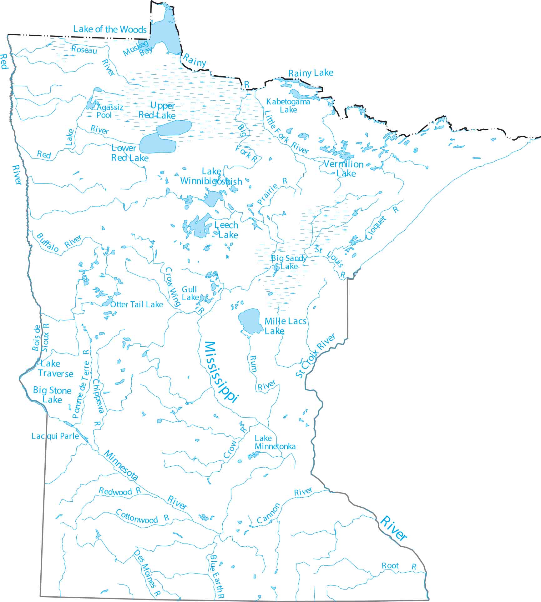
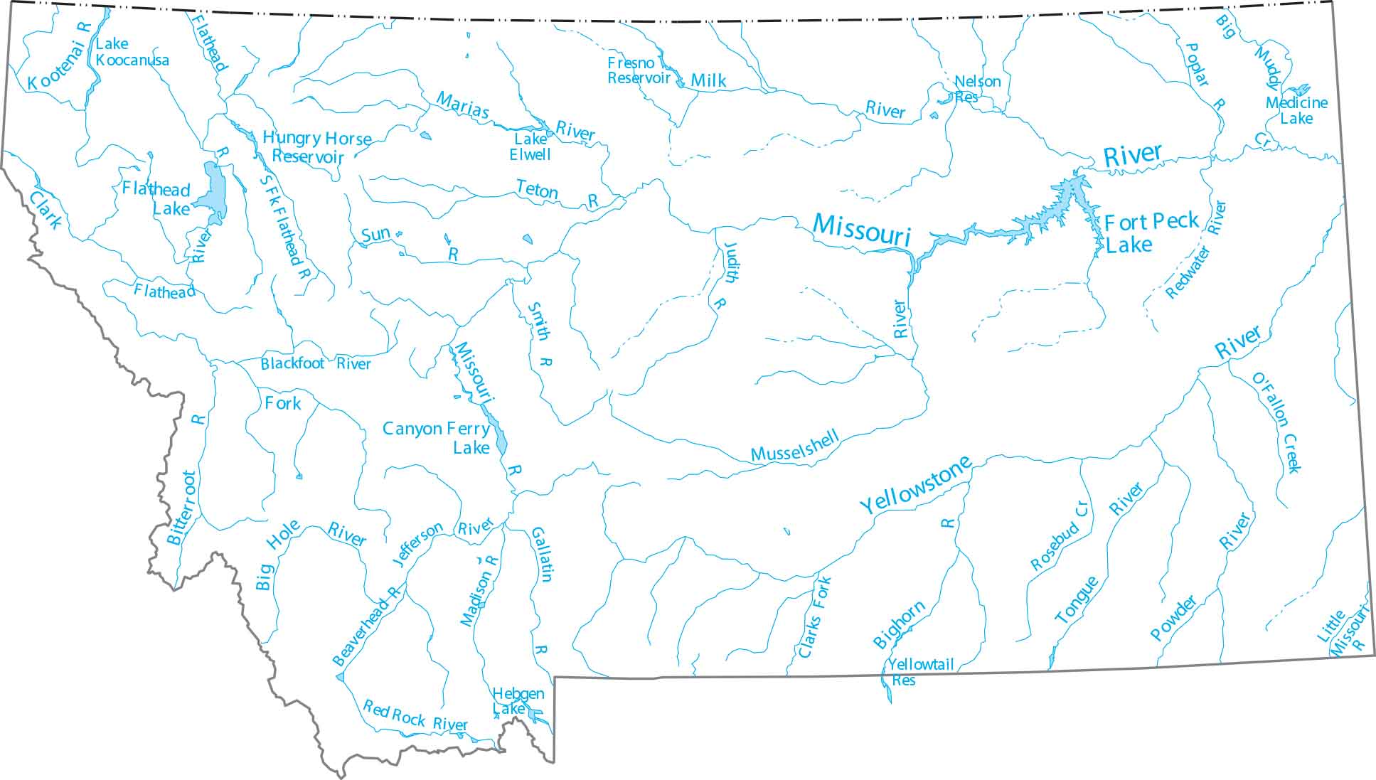
Simple Map Of Canada With Lakes File Southern Ontario Relief EQB0O Xxyaabgoq California Zip Code US Maps And Rivers Minnesota Important For UPSC Preparation Pdfs 2026 Major The World Montana.
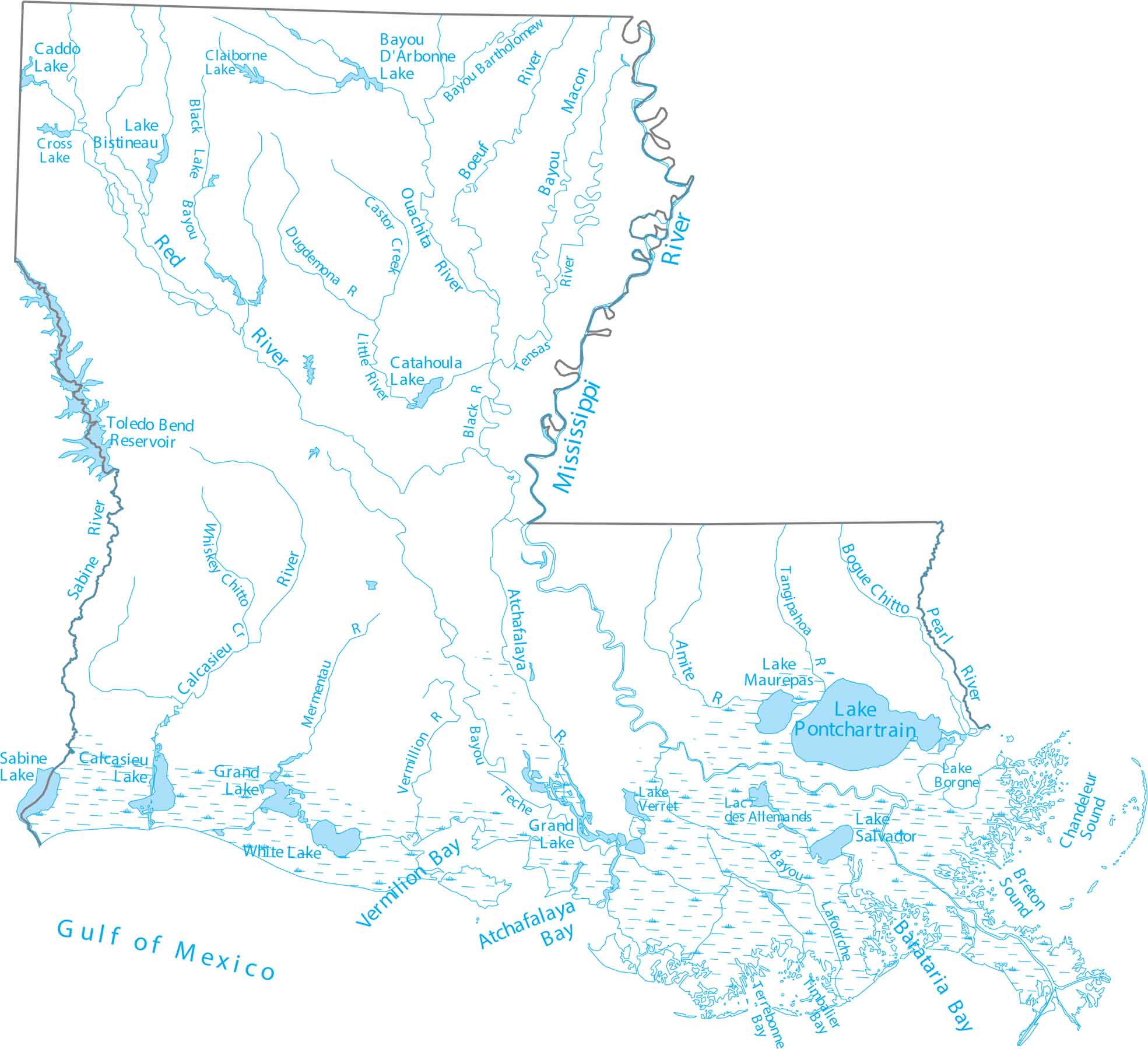
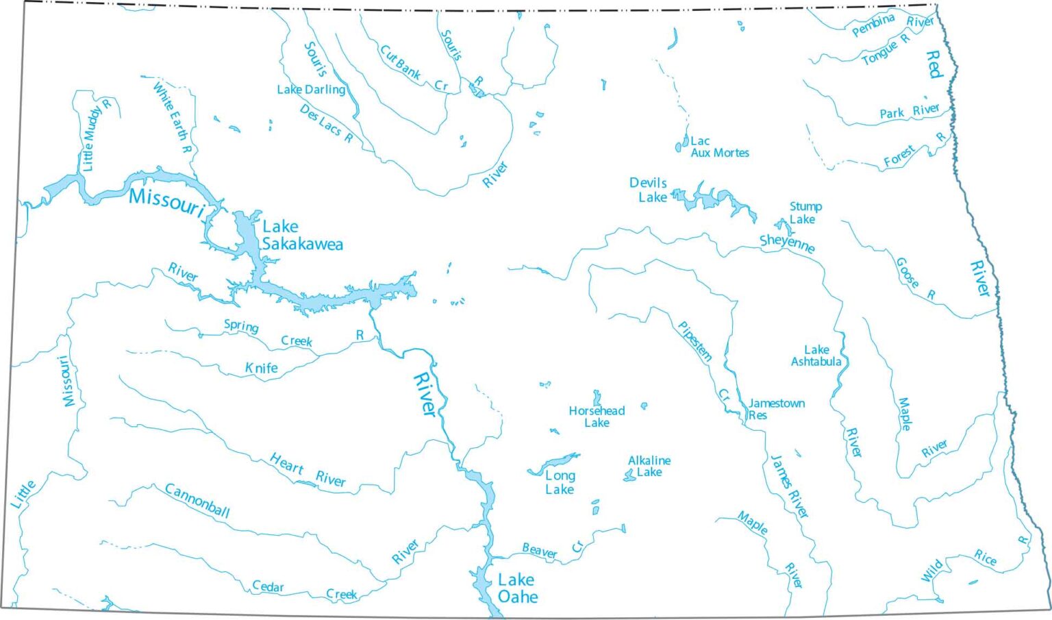

Louisiana Zip Code Map US Maps Lakes And Rivers Michigan North Dakota Top Kayaking In Ohio Best Expert Guide 2026 2026 Featured.
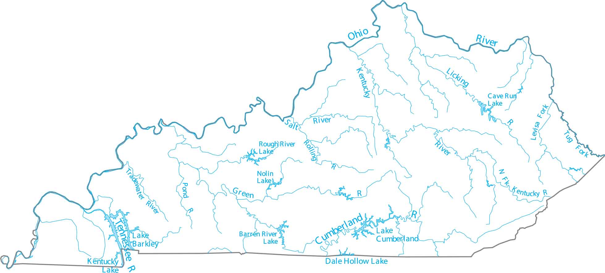
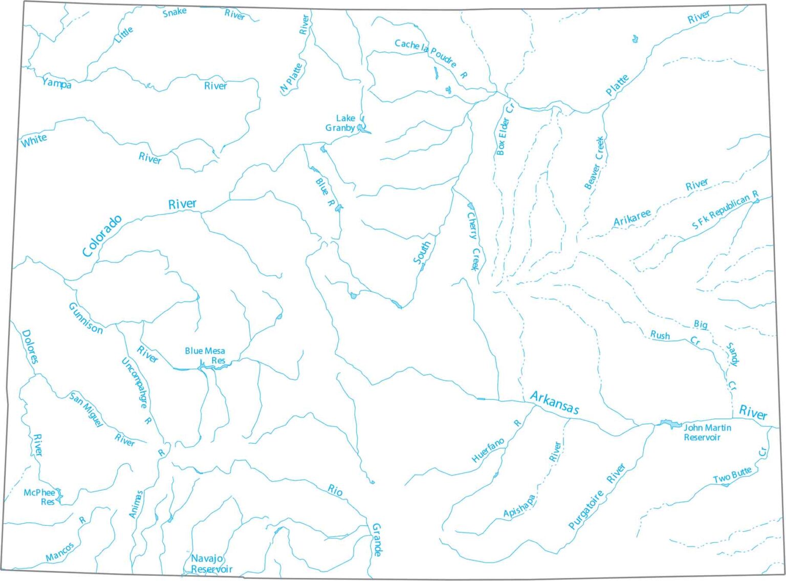

Kentucky Zip Code Map US Maps Lakes And Rivers North American 2023 Landing Page Colorado National Parks Forests Washington Plan To Attend The 2026 Wisconsin Convention D22E1B.
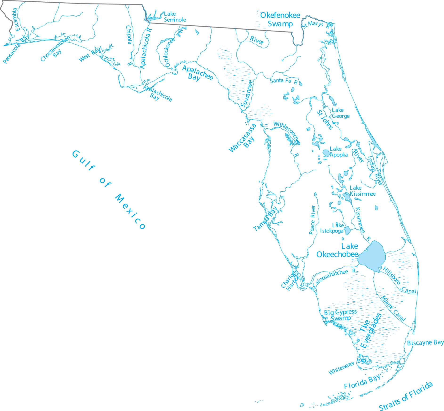


Florida Zip Code Map US Maps Lakes And Rivers Oregon National Parks Forests Lord Of Amazon Full Pic In LAKES2 2R48F8A AFCBA Major River.
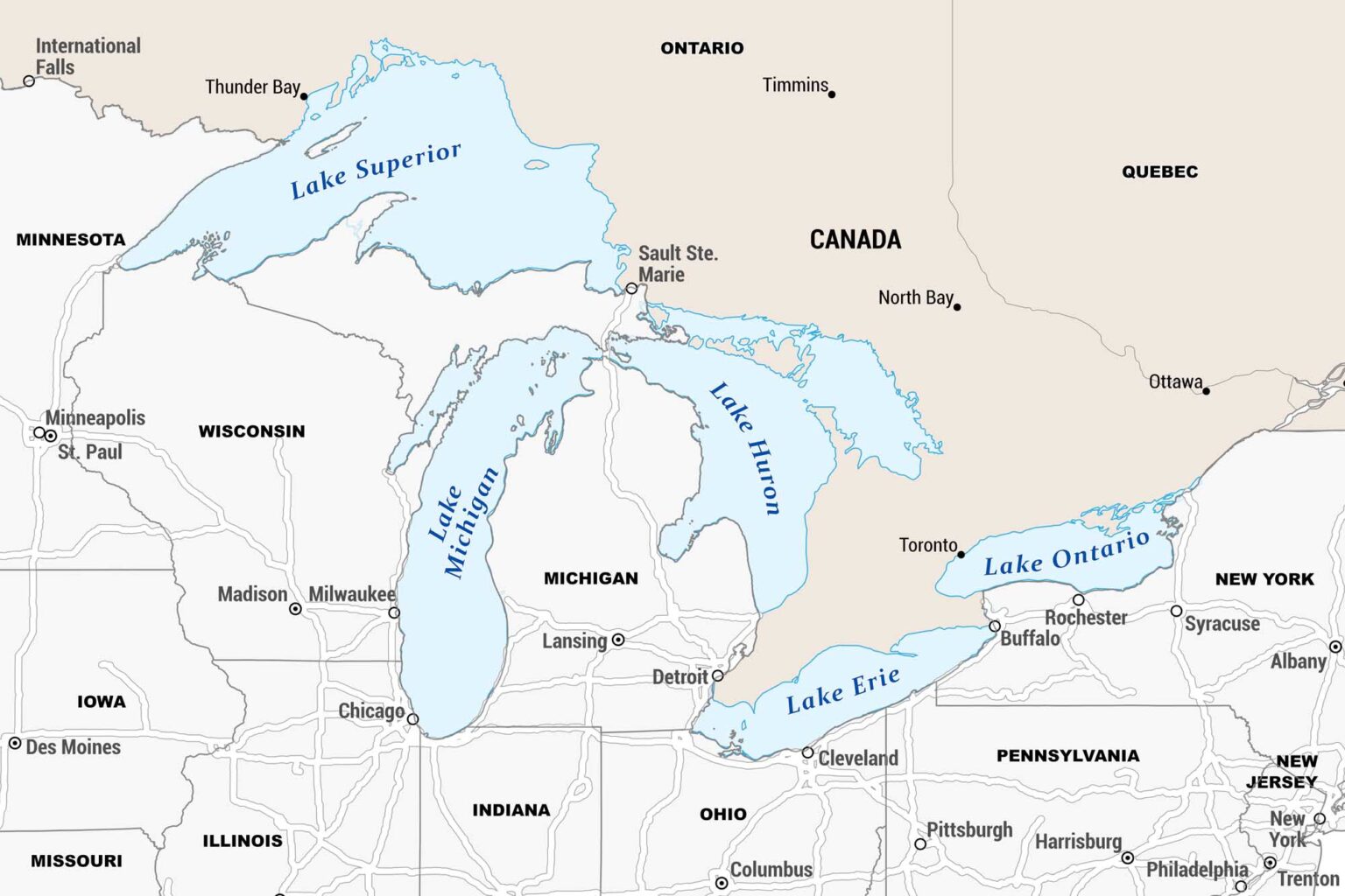

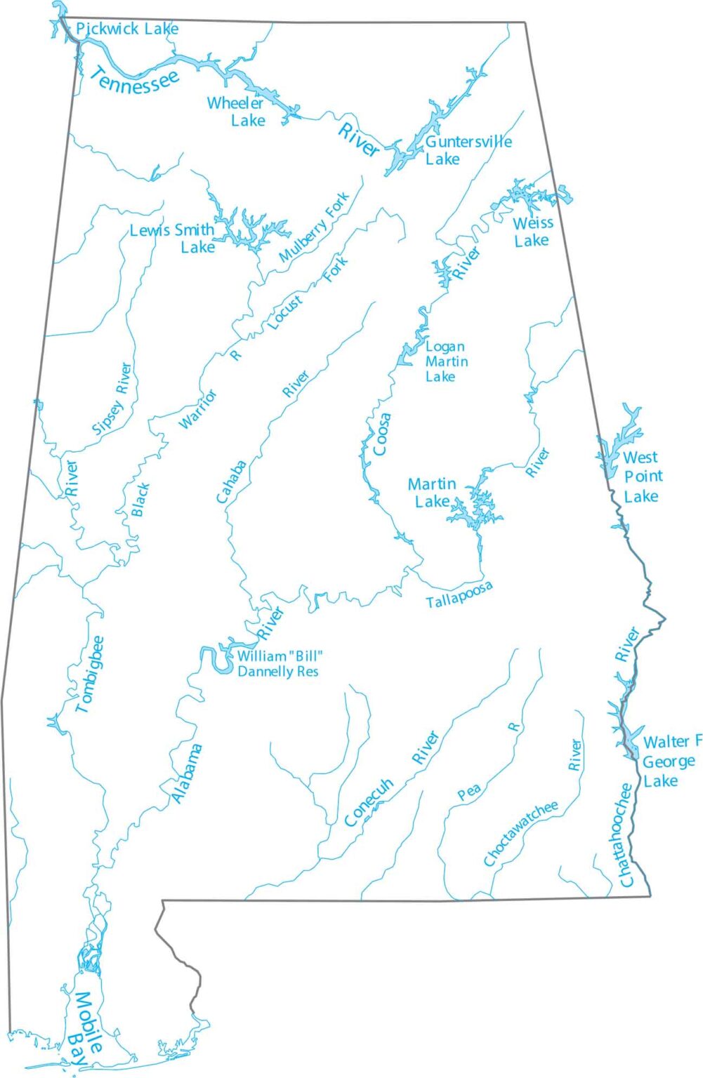
Central Coast Map US Maps Great Lakes Arkansas Zip Code And Rivers Of Missouri Streams Georgia Alabama.
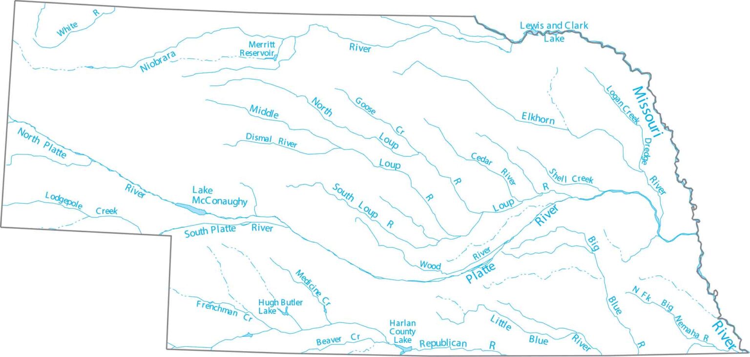
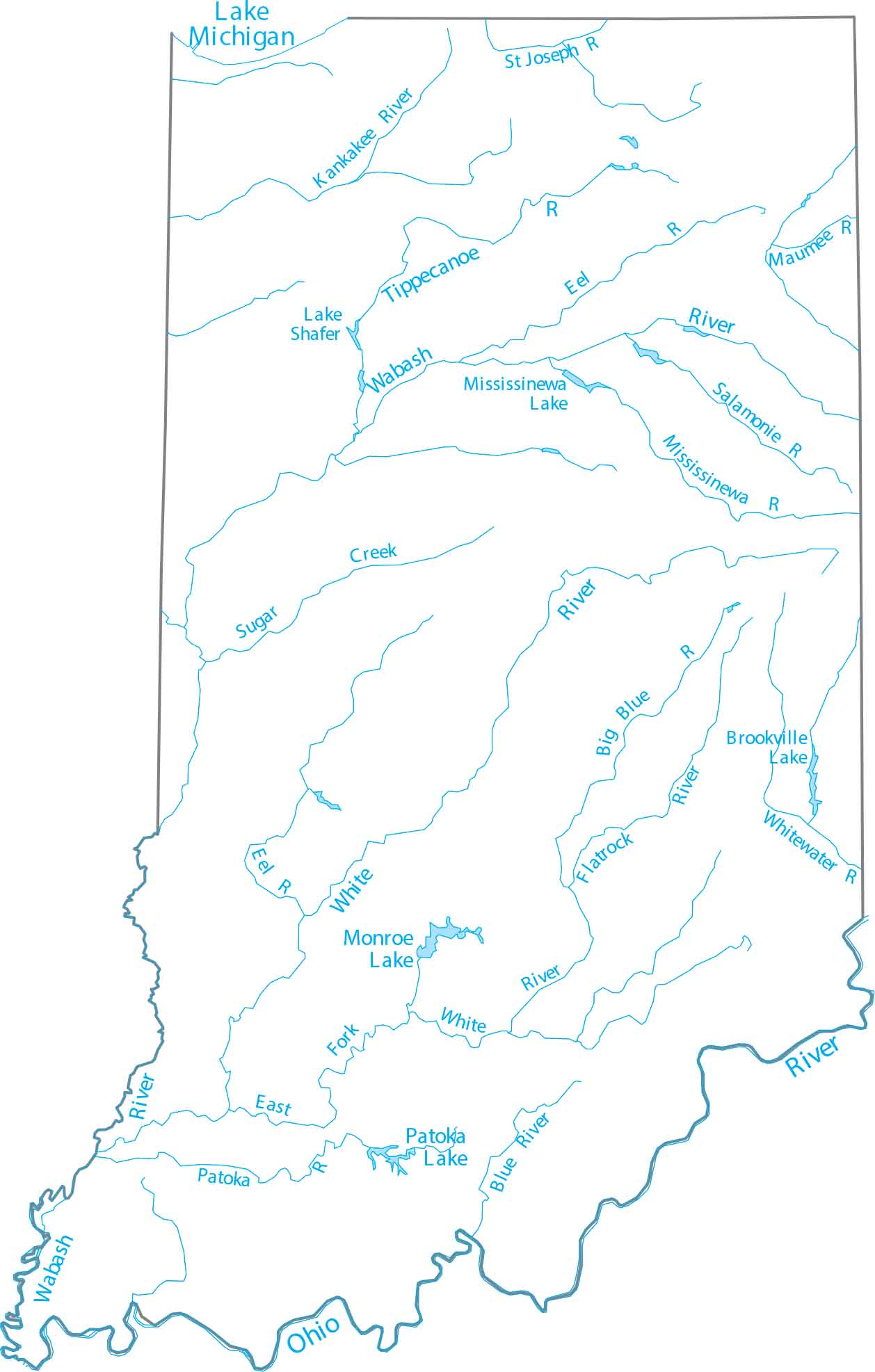

Nebraska Zip Code Map US Maps Lakes And Rivers Major S3CDN Indiana IASPOINT Lord Of 22215241.